
Mission-critical routing · Since 1994
We get your people to placesstandard maps have never heard of.
From dispatch planning to navigation in the vehicle: our own map, our own navigation, our own cloud. On forest tracks, at substations without an address, at incident sites without coverage. Location tech made in Germany.
Video, 5:39 min. Plays via Vimeo after your consent.
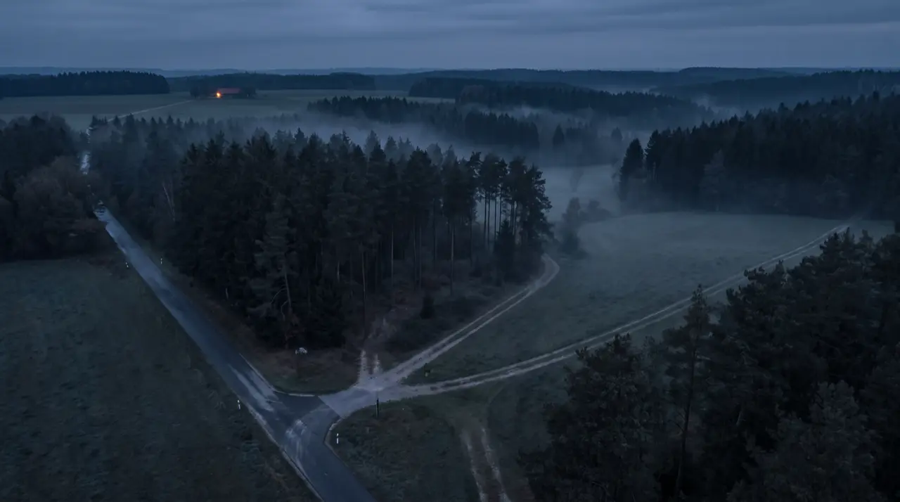
Three scenes, one problem
Where your work happens, the map stops.
Consumer navigation is built for addresses. Your destinations do not have any.
5:10 am, unfamiliar forest district
The driver is looking for the timber pile. The forest tracks are on no map, coverage is gone, the load is waiting.
3:07 am, emergency response
The approach to the incident site runs over a service track. The sat nav has never heard of it. Dispatch is counting the minutes.
10:40 pm, pressure drop in the grid
The regulator station sits behind the tree line, no address, no lights. The technician is driving on instinct.
From searching to finding: a callout with Localion
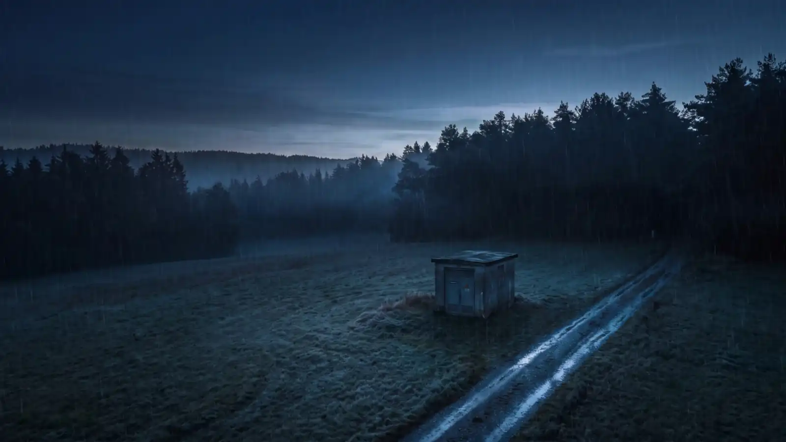
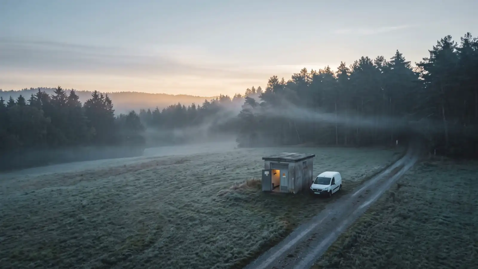
An image sequence tells the story of an early-morning callout: at night, the grid reports a fault. The destination lies off the road, without address or light. Localion guides the team over service tracks right to the door. By sunrise, the job is long done.
Who we build for
Three industries shape our daily work.
See all industries: service organisations, software providers and more
How it works
With us, the path to your destination literally is a route.
Three building blocks work together. You can start with any one of them.
The map
The Germany Plus Map adds over 1m km of official ways from cadastral data to commercial road maps: forest, farm and service tracks.
The application
Localion Navigator guides vehicles right to the target, fully offline. Localion Cloud plans server-side: routing, matrix, optimisation, geocoding.
The arrival
Your people reach timber piles, incident sites or grid assets without searching. And wherever there are roads, we deliver precise travel-time predictions from real traffic data.
Evidence, not claims
In the field since 1994. Started as a Fraunhofer spin-off.
And the second half of our work: precise travel-time predictions wherever there are roads, so field-service teams and SAP users plan their tours with real arrival times.
„We have been working together in trust for 20 years. The Localion Navigator Forestry makes navigating the forest so much easier. We could practically not handle these large timber volumes, up to 1 million cubic metres a year, without it.“
Next step
Get to know Localion in 30 minutes.
We show you the map, the navigator and the cloud live, ideally with examples from your region.

Not ready for a call? Request a free map excerpt of your region and see for yourself which ways the Germany Plus Map knows in your area. We usually reply within a few working days.