
Rescue & safety · Emergency services
In an emergency, the shortest routeis the one that exists.
Response navigation for fire brigades, rescue services and public authorities: right to the incident site, off public roads and without coverage.
Free and without obligation. With Jana Scharathow.
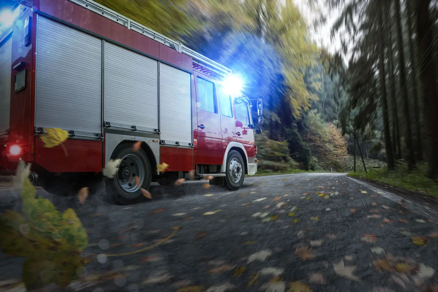
Why standard tools fail here
The incident site does not care about the map.
Access ways along railway lines, maintenance tracks in the forest, dam paths, substation access roads: consumer maps do not know these ways and cannot be updated on demand.
The last mile is missing
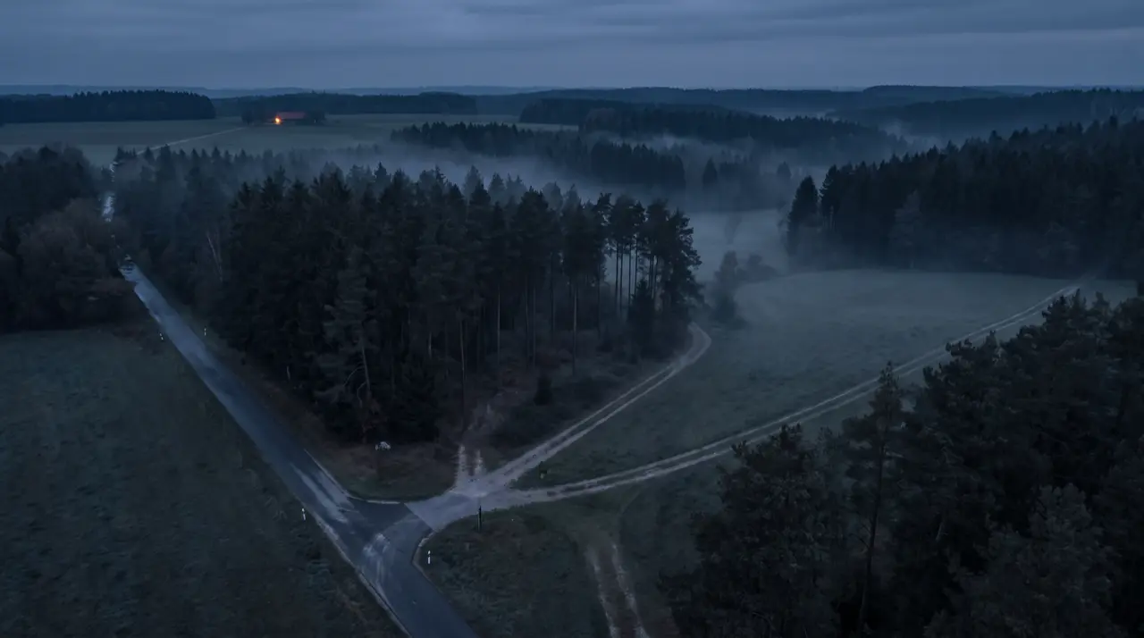
The approach works until the last junction. Then the terrain begins, and the sat nav shows a meadow.
Dead zones in the response area
Online maps stop loading. A sat nav that quits in the forest is not one.
No priority-response logic
Emergency runs follow different rules than commuting. Routing must switch between runs with and without priority rights.
Maps age faster than procurement
Closures, construction sites, temporary access: response maps must be updatable without waiting for the next map release.
The moment that counts
Where the standard map ends, we keep drawing.
Scroll the response to its destination: across ways that live in the Germany Plus Map, with rescue points and water sources as POIs.
Target from dispatch
The incident site arrives as an address, rescue point, coordinate or directly from the command-and-control system.
Routing across all ways
The Germany Plus Map adds over 1m km of official ways: forest tracks, railway access, dam paths. With response vehicle profiles and truck attributes.
Arrive, even offline
Map and routing live in the vehicle. The response does not end at a dead zone.
Wildfire focus
Fighting wildfires takes more than a road map.
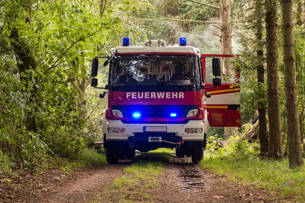
The wildfire protection map becomes navigable
The navigator merges road navigation with wildfire protection map content: rescue points are built into the special maps, water layers and custom POIs digitise the map sheet.
- Target entry via address, POI, WGS or UTM coordinates, map tap or dispatch
- Rescue points and water sources as destinations
- Truck option with forest restrictions for large vehicles
- Selectable alternative routes for changing situations
„In wildfire fighting, good planning is not enough: crews must actually get to where the fire is. The Localion Navigator finds the ways, water sources and terrain information even without mobile coverage and even offers selectable alternative routes. It makes difficult terrain predictable, and in an emergency that can make the difference.“
Control-centre integration
From alarm to arrival time: integrated, not isolated.
Target hand-over from third-party apps
Command-and-control systems and response apps hand targets directly to the navigation, via interfaces on Android and iOS.
Arrival-time queries
Third-party systems can query the predicted arrival time: dispatch sees when the vehicle will arrive.
Synchronised map data
Control centre and vehicle work on identical maps and routing algorithms, online and offline.
Our own technology stack
Map and application come from one hand. Custom requirements do not fail at a sub-supplier.
In 71 seconds
See the difference on the map.
Emergency response navigation with the Germany Plus Map · 71 seconds · played without third parties · German audio
From real conversations
What fire brigades and authorities ask us.
We already have maps in the command-and-control system.
The control system plans, the navigator drives. What decides the response is the last mile in the vehicle: ways off the road network, priority rights, dead zones. That is where the control-room map ends and the navigator begins, including target hand-over from your system.
What sets the Germany Plus Map apart from Google Maps?
Google Maps navigates to addresses over public roads and needs a network connection. The Germany Plus Map adds over 1m km of official ways from cadastral data, knows rescue points, hydrants and response vehicle profiles, and works fully offline. Besides, your incident locations do not belong in the logs of a consumer service.
Can we add our own content to the map?
Yes. Closures, temporary access ways, custom POIs and district boundaries can be added and kept current. The map is GIS-compatible and continuously extendable.
How do procurement and pricing work?
The navigator is an app with central rollout through your mobile device management, not a server project. Licences are priced predictably per device; we provide concrete figures for your fleet size in the call, including material for tender documents.
Next step
See your response areas in our map.
Jana Scharathow shows you the Germany Plus Map and the navigator live, ideally with rescue points and ways from your own district.

Not ready for a call? Request a free map excerpt of your region and see for yourself which ways the Germany Plus Map knows in your area. We usually reply within a few working days.