
Germany Plus Map
The map that keeps goingwhere others stop.
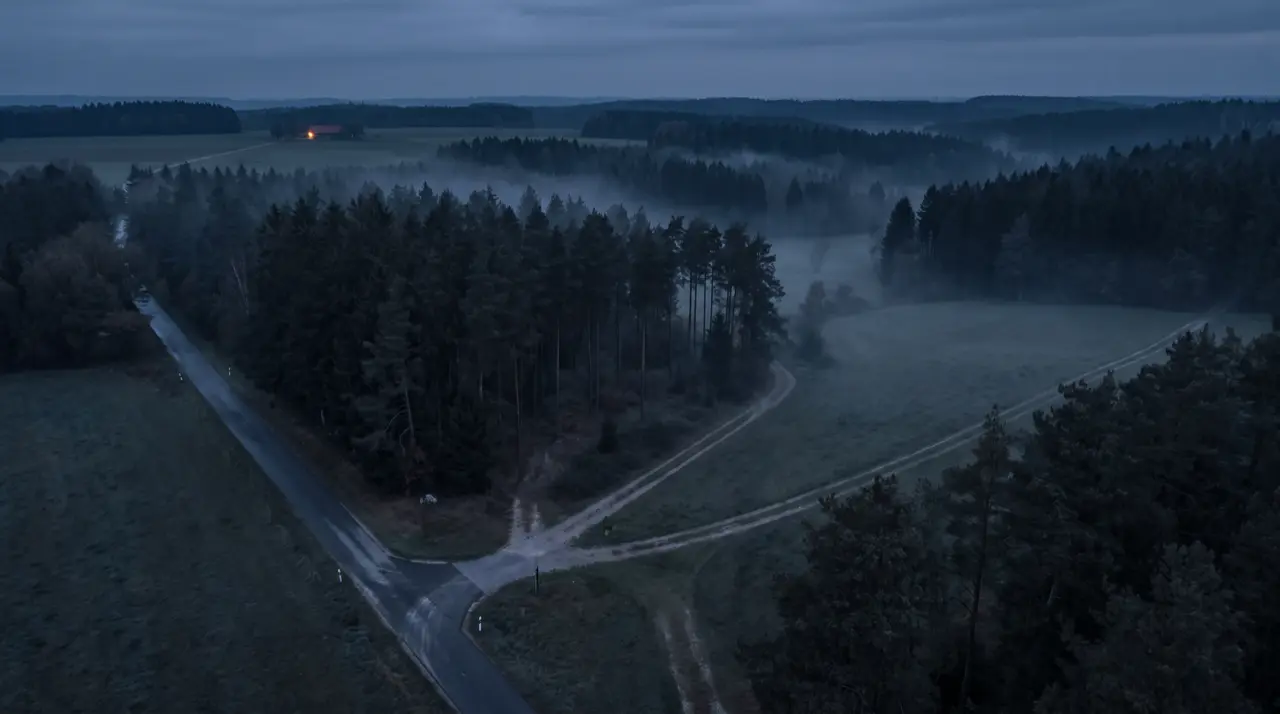
Commercial premium road maps plus over 1m km of official ways from cadastral data: forest, farm and service tracks, seamlessly integrated.
Free and without obligation. With Jana Scharathow.
What is inside
Official data, refined by hand.
The Germany Plus Map is created in the Mapfusion process: the official way network from cadastral data is merged with commercial road maps and qualified by map experts.
Over 1m km of extra ways
The non-public official way network, seamlessly integrated into the road map: from forest tracks to plant access roads.
Curated routing attributes
Passability, response and truck vehicle profiles, restrictions such as heights and weights: maintained by people who have built maps for decades.
Response-relevant content
Rescue points, hydrants and water sources, topographic layers, building outlines.
GIS-compatible and current
Continuous updates, connection to your GIS landscape, your own content and closures can be added.
In use
One map, many consumers.
From the response vehicle to analytics
The Germany Plus Map works inside the Localion Navigator, in the cloud APIs and as a data delivery for your own systems.
- In-vehicle navigation, fully offline
- Routing and matrix computation in the cloud
- Map services via WMS and TMS for web and GIS
- On request: the map itself as a data product
Next step
See your region in the Germany Plus Map.
The fastest proof is a look at your own ways.

Not ready for a call? Request a free map excerpt of your region and see for yourself which ways the Germany Plus Map knows in your area. We usually reply within a few working days.