Knowledge
The Germany Plus Map: the GDI plus for efficient emergency response.
Police, fire brigades and civil protection navigate to places where commercial maps end. The Germany Plus Map closes the gap with official data.
The problem: the map does not know the incident site
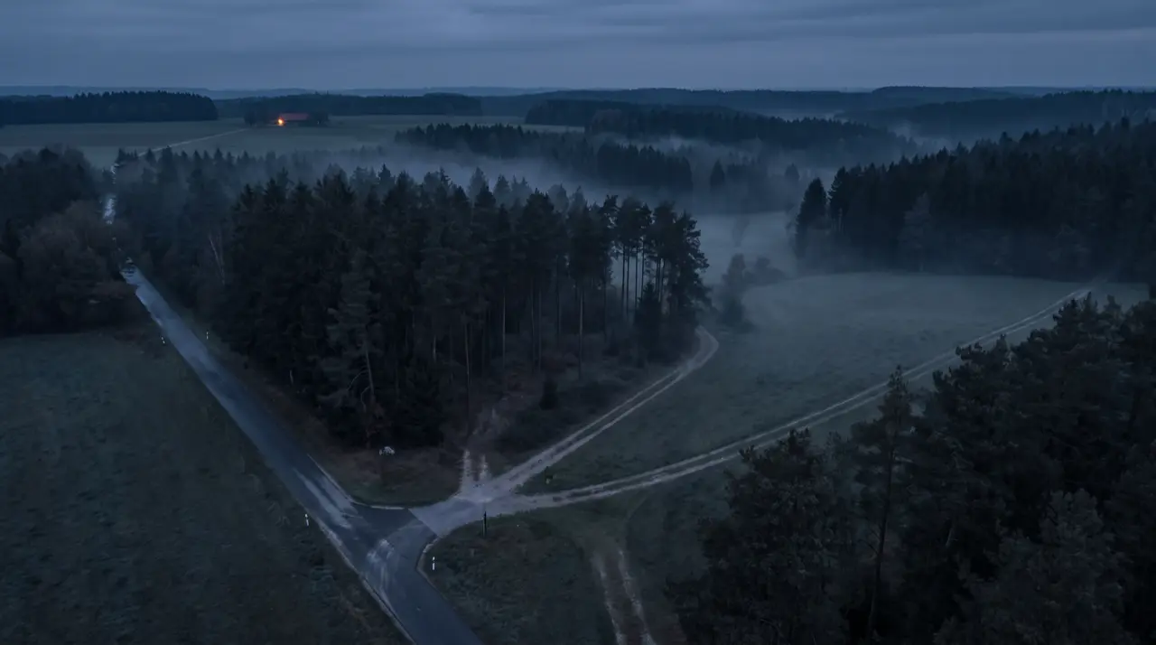
Commercial road maps are built for traffic, not for response. Forest tracks, railway access ways and maintenance paths are missing; dynamic restrictions such as closures cannot be updated on demand. For emergency services this means: the most critical metres of the approach are unmapped.
The solution: official cadastral data, made routable
The Localion Germany Plus Map combines commercial premium road maps with over 1 million kilometres of additional roads and ways from official cadastral data. The non-public way network is seamlessly integrated and qualified by map experts.
- Updatable map elements: closures, construction sites, temporary access
- Response POIs: hydrants, water sources, rescue points
- Vehicle profiles and restrictions: priority response, truck heights and weights
- Topographic layers, building outlines
- Offline synchronisation and GIS compatibility
In concert: from dispatch to the vehicle
The map unfolds its value in the system: Localion Navigator guides in the vehicle, dispatch hands over targets and queries arrival times, both working on identical map data, online and offline.
Next step
Questions on the topic?
A 30-minute conversation clarifies more than any footnote.