Case report · Emergency services & forestry
The wildfire protection map becomes navigable.
When the forest burns, the approach decides. The Forestry navigation map merges road navigation with the contents of the wildfire protection map.
The starting point
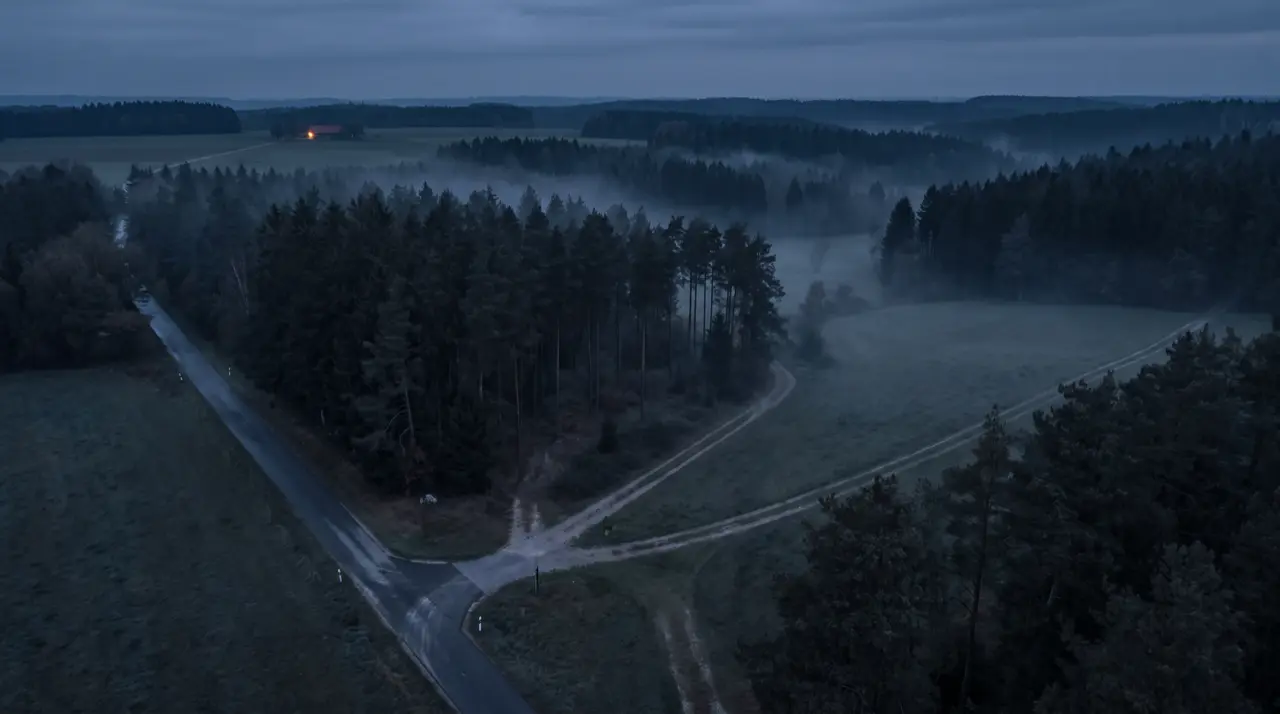
Wildfire fighting happens where consumer maps end: at rescue points, water sources and forest tracks no standard sat nav knows. Paper wildfire protection maps hold this knowledge, but they do not navigate.
The solution
The Forestry special navigation map integrates the wildfire protection map into navigation: target entry via address, rescue point, WGS or UTM coordinates, map tap or directly from dispatch. The truck option respects forest restrictions for large vehicles; water layers and custom POIs digitise the map sheet. The system runs fully offline on Android and iOS, optionally as a package with rugged tablet hardware (IP67) and an active mount.
The result
Crews reach fire sites, water sources and rescue points without local knowledge and without coverage, with selectable alternative routes when the situation changes.
Next step
A similar task on your side?
In 30 minutes we clarify whether this pattern fits your case.